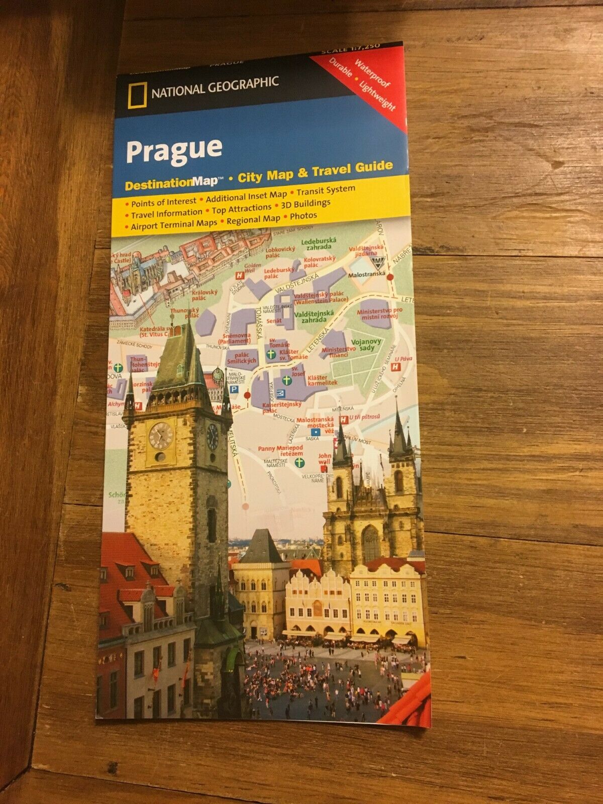
Map of Aruba, Laminated & Folded by Berndston Maps
Map of Aruba, Laminated & Folded by Berndston Maps
$2.61
162
Condition: New
Return shipping will be paid by: Seller
Item must be returned within: 30 Days
Country: Aruba
Restocking Fee: No
Topic: Maps
Country/Region: Caribbean
All returns accepted: Returns Accepted
Refund will be given as: Money back or replacement (buyer's choice)
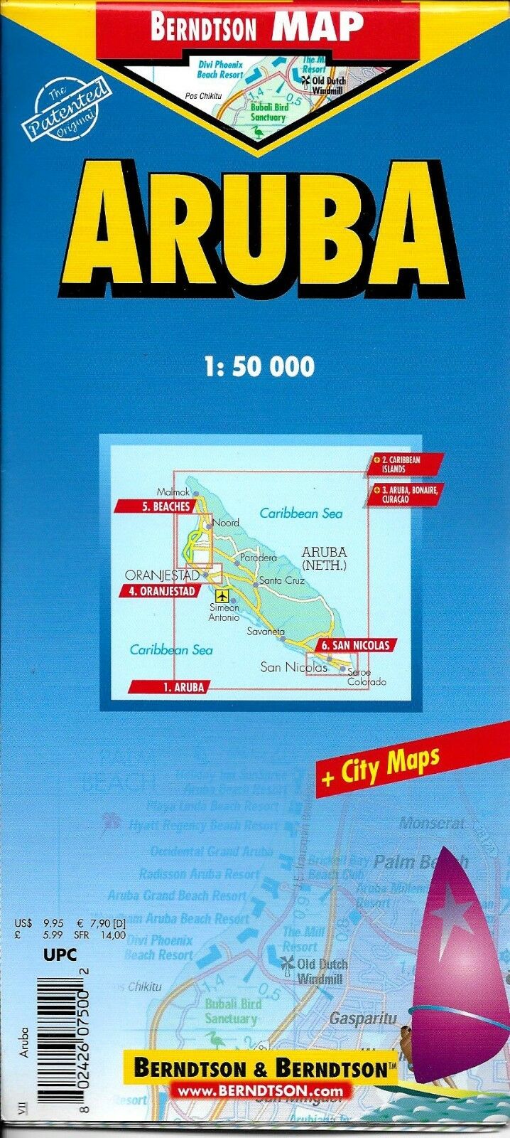
Map of Aruba, Laminated & Folded by Berndston Maps
Folded laminated road and travel map in color. Scale 1:50,000. Distinguishes roads ranging from 4 lane highways to carriageways. Legend shows international airports, points of interest, archaeologiacal sites, churches, chapels, museums, monuments, windmills, caves, tennis and golf courts, lookout points, hotels, nature reserves, National Parks (marine), petrol stations, snorkel sites, markets, beaches, hospitals, scuba diving sites, shipwrecks, windsurfing sites. Includes inset of Caribbean Islands (1:7,000,000), Aruba, Bonaire and Curacao (1:1,000,000), Oranjestad (1:10,000), Beaches (1:25,000), San Nicolas (1:20,000). Legend in 5 languages, including English. Climate charts show the average daily temperatures, humidity, hours of sunshine and precipitation for each month.
Map is lightweight and printed on tear resistant laminated paper. Map measures approx. 18″ x 25″ when unfolded.
Copyright 2005, ISBN
9783897075009
Map is new, NOS, MSRP is $ 9.95

